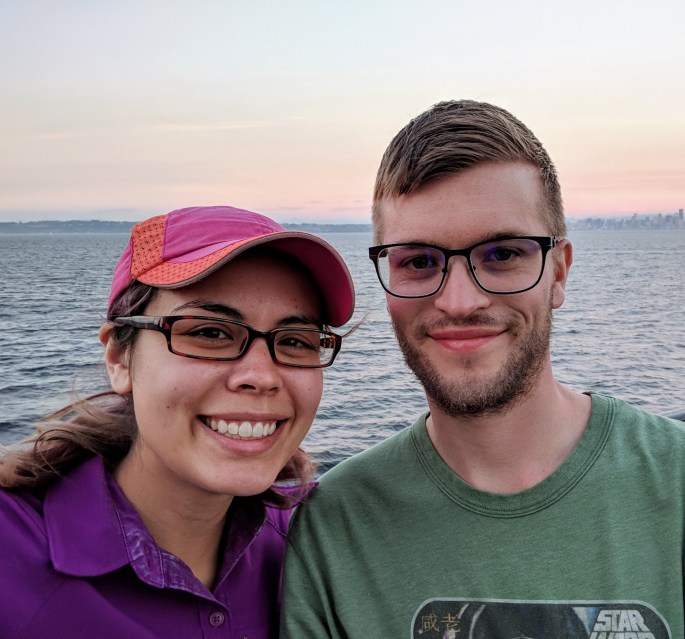
We went on a 3 day backpacking trip over Labor Day weekend to celebrate our anniversary. Only a week or two before our trip, the entire state of Washington was either on fire or covered in a thick layer of smoke. Thankfully, we got some cooler weather and rain that sent a lot of the smoke away, though it didn’t douse the fires in the North Cascades and near Mt. Rainier. We ultimately decided to go to Olympic National Park due to its lack of fire activity.
We left the house at 5:30am and took the Kingston-Edmonds ferry to the peninsula on Friday morning. We didn’t have to wait at all and even had time to grab breakfast! We arrived at the Port Angeles Ranger Station at 8:10am. Though we got there only 10 minutes after the station opened, there was already a line of people out the door. I was worried that we wouldn’t be able to get a permit for our planned itinerary. Luckily, we were able to walk out of the ranger station at 9:30am (over one hour later) with our desired permits. Not everyone in line was so lucky – my cousin and her boyfriend had to make a last minute itinerary change.
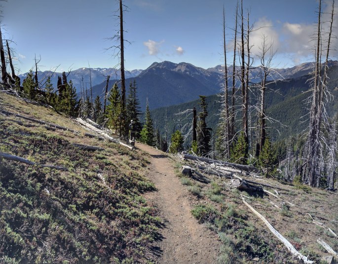
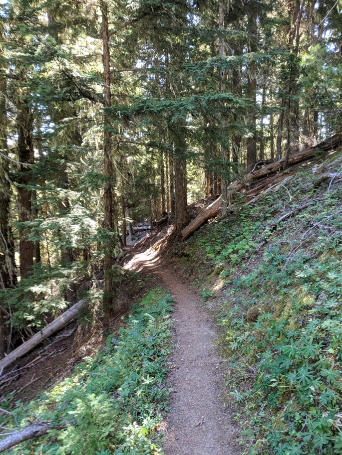
Because we were super (un)prepared for this trip, we stopped by Safeway to pick up food for the weekend, and finally hit the trail around 11:30am. We parked at the Deer Park campground next to the ranger station. NB: This campground is at a high elevation and has no water sources. Our choice of parking spot was intentional: our car was right next to the Obstruction Point trailhead, which was where we would finish our hike. We walked about 0.5 miles from our car along the road to the start our journey at the Three Forks Trailhead. It was a beautiful, perfect, sunny day. Wafts of warm, fresh pine greeted us every few paces, and I felt so happy to be hiking again. The trail started out with some expansive views, but quickly descended into a forest valley. My knees were not a fan of the huge elevation change (about 4000 feet in 4 miles).
We soon reached Three Forks campground and ate lunch overlooking the river. There were no real river crossings during this trip, and the bugs weren’t bad. So far we had only run into one other person. Our destination for the night was Lower Cameron campground, by the junction leading up to Grand Pass. The trail from Three Forks to Lower Cameron follows the river, but that does not mean that the trail is flat or that the river is easily accessible from the trail. This wasn’t a problem – the trail was extremely well-maintained and we were enjoying ourselves, up until the last 2-3 miles before the junction to Grand Pass.

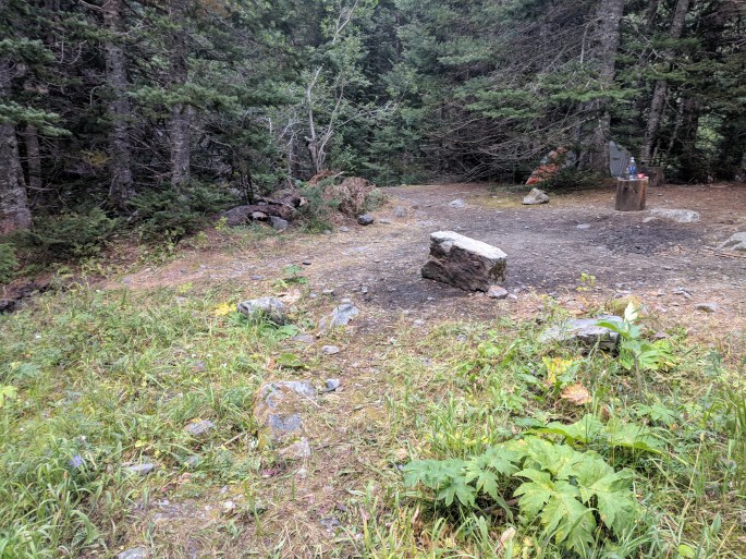
At this point the trail became quite thick. I wouldn’t quite call it bushwhacking, but I was glad to be wearing long pants and long sleeves. There was an interesting part of the trail that had been washed out, so we had to figure out how to traverse a small crevasse. It wasn’t difficult or dangerous, but it was a surprise! I got dirt all over my butt from sliding down. One of the strange things that happened was that we couldn’t find our campsite. The campsite was definitely not where it was located on the map. We were supposed to encounter it about a mile before the junction to Grand Pass, but the Lower Cameron campsite was nowhere to be seen. We reached the junction around 6pm and it was starting to get dark, which was mildly worrisome because the trail was on a steep hill, and we hadn’t seen any flat places in the past two miles. Tim scouted ahead and luckily found a suitable unofficial campsite about half a mile past the junction (towards Lower Cameron). We had walked about 11 miles.
We only had about 6 miles to go until Grand Lake, our next campsite, so we decided to wake up late and laze about the next morning. There were no reliable water sources until Moose Lake, so we loaded our packs up with water. Our next task was to climb 2200 feet in 1.8 miles to make it to Grand Pass. I really enjoy going over mountain passes. There’s just something about being nestled in high between the mountains. It feels so magical and amazing and secluded and special. However, mountain passes also kick my butt, and I really dislike having to walk on my toes because the trail is so steep. So maybe it’s a love-hate relationship?
We had lunch at the top of Grand Mountain, which had some nice views despite being very windy and cold! We then descended into Grand Valley. Grand Valley was absolutely gorgeous. Along the way we passed by Moose Lake, which has a campsite and was even nicer than Grand Lake in my opinion. We got to Grand Lake pretty early in the afternoon, so I set myself up on the beach with my sleeping pad and relaxed in the sun while reading my Kindle. It got dark and cold pretty quickly, so we hurriedly cooked dinner (Mountain House chili mac for me, tortillas for Tim) and got into our sleeping bags. This was the first time I’ve brought entertainment on a hike, and it was definitely worth the extra weight.
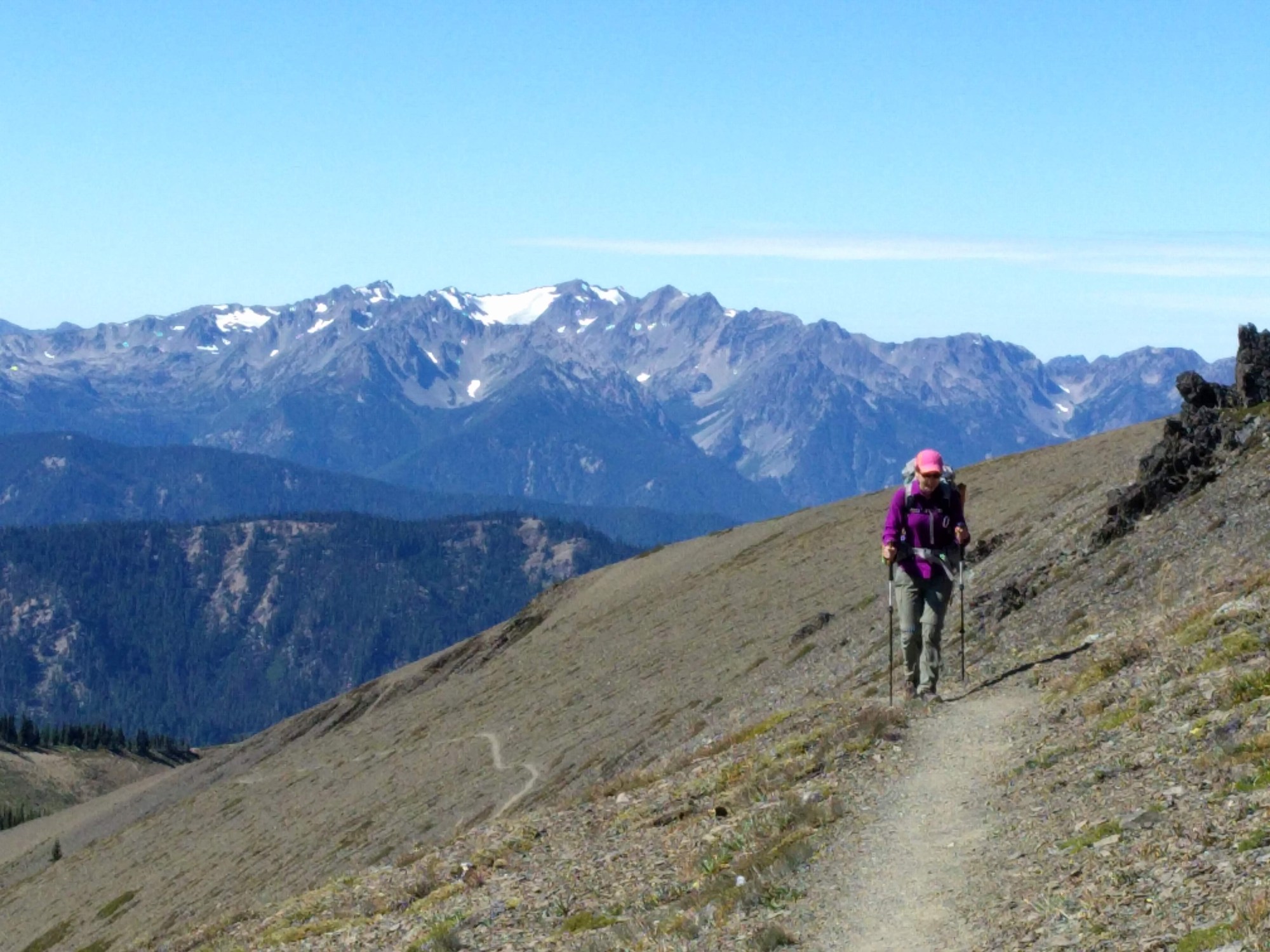
We woke up feeling rested but super sore! Walking was quite painful after all of the elevation gain of the past few days. We slowly got moving and started on our way back to the car. There are no water sources between Grand Valley and Deer Park campground, a distance of about 11 miles. Just to be safe, I took 3.7 liters and Tim took 3, which made our packs pretty heavy. And since we were in a valley, of course we had to climb back up. The climb to Obstruction Point was nowhere near as steep as Grand Pass, but we still worked up a sweat by the end of it.
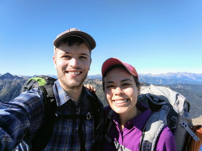
Obstruction Point was beautiful. We had panoramic views of almost the entire Olympic valley. We ate a quick lunch there and hurried along to Hurricane Ridge. We followed the knife’s edge of the mountains for a few gorgeous miles. The pictures can’t really describe how lovely it was. We were even able to see the ocean!
By the time we left Hurricane Ridge, I was thinking of nothing but the cheeseburger that would surely await me in Port Angeles after we finished the hike. These thoughts gave me a burst of energy, and we powered through the last forested climb from Hurricane Ridge to Deer Park. We got to the car around 3:30pm and made our way to the 101 Diner in Sequim, where I ate a burger, fries, and a delicious blackberry shake. We had hiked approximately 28 miles with 8000 feet of elevation gain, so I felt that I deserved it. On the ferry back we saw a beautiful sunset. It was the perfect first anniversary!